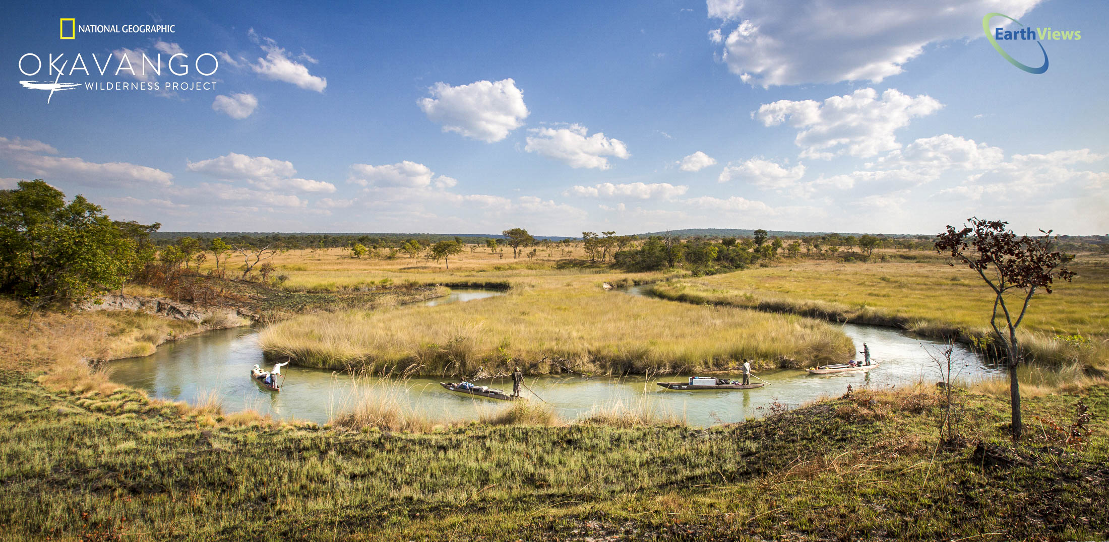
Earthviews commissioned Blue Water GIS to create a StoryMap of our project with The Okavango Wilderness Project – an amazing journey into Central Africa’s Okavango Delta with The Wild Bird Trust and National Geographic. The Wild Bird Trust’s scientists gathered thousands and thousands of 360° imagery and data during annual expeditions to the Okavango Delta and Source Waters for the Okavango in order to study, understand and save this precious resource in one of the most remote places on Earth.
https://storymaps.arcgis.com/stories/df468704609b472f846330f84b42334b

0 Comments